Geological studies start off Indonesia’s new capital city development

Jakarta (Indonesia Window) – Before modern infrastructures are built, and millions of people migrate to Indonesia’s new capital city in Penajam Paser Utara and Kutai Kertanegara regencies in East Kalimantan Province, geological data and information should be highly taken into account by all stakeholders involved in the development programs.
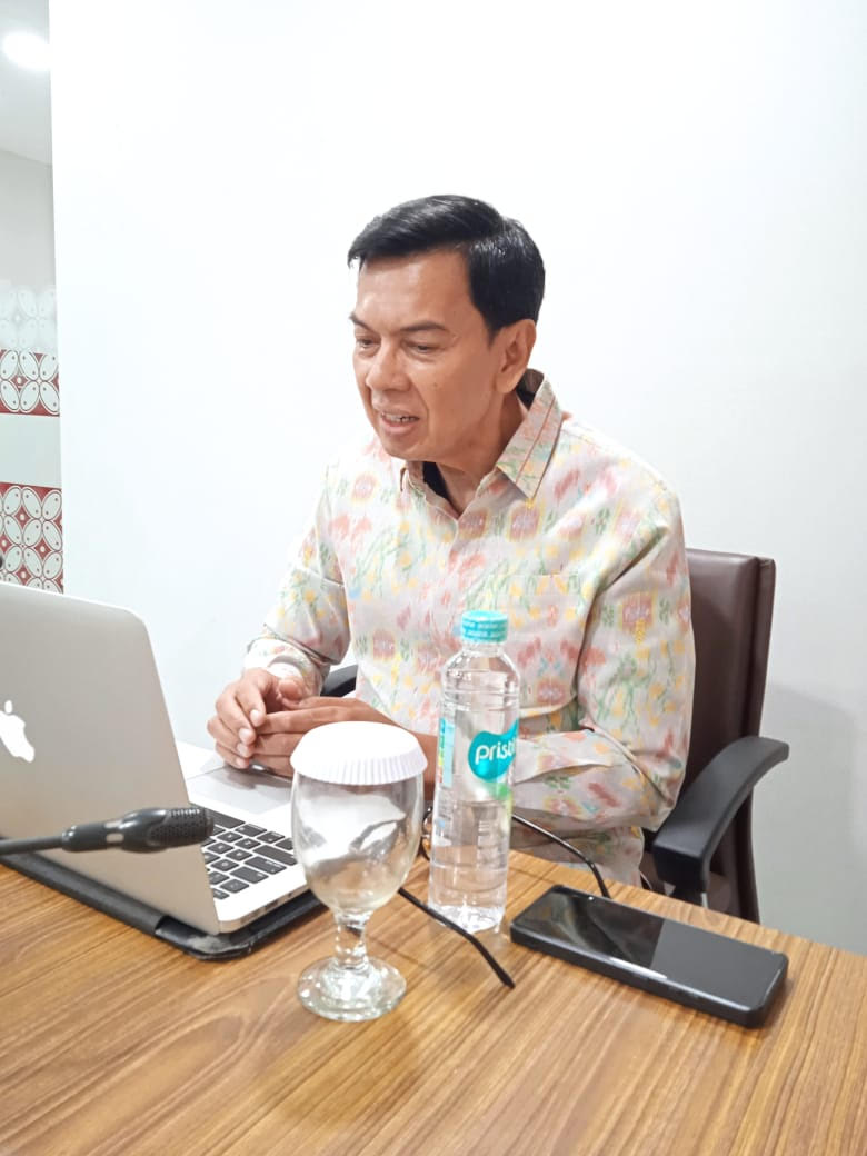
“Fair and equitable development requires adequate data and information,” Head of the Geology Agency at the Ministry of Energy and Mineral Resources Rudy Suhendar said when handing over an atlas on the result of geological survey and studies about the prospective state capital to the Head of the Team Dealing With the Study on the Displacement of the State Capital at the Ministry of the National Development Planning/National Development Planning Agency, Imron Bulkin.
The document was handed over at a colloquium in Bandung, West Java, on Tuesday, according to a press release from the Indonesian Ministry of Energy and Mineral Resources received by Indonesia Window here on Tuesday (Dec 11).
According to Rudy Suhendar, the Geological Survey Center at the Geology Agency is one of the government agencies responsible for providing adequate geological data to support national development programs.
Rudy hoped that the availability of geological data and information would play a role in the government’s efforts to provide a sense of security for people, especially regarding geological disaster mitigation.
Geological data also constitute basic data that help formulate measures and policies on geological disaster mitigation.
“As part of the basic science, geology is an inseparable part of our daily life. Therefore, knowledge of geological conditions in an area should be adequately available and is worth understanding,” Rudy asserted.
He added, the preparation of the Regional Spatial Plan and the Spatial Detail Plan in the location of the prospective new capital and other areas in Indonesia should be based on geological analysis that includes disaster mitigation.
Thus, possibilities of geological disasters in a region could be mapped in order to avoid casualties when catastrophes happen.
The Atlas of Geological Studies on the Prospective State Capital that covers Sepaku sub regency in North Penajam Paser regency and Samboja sub regency in Kutai Kartanegara regency consists of 16 maps with a scale of 1: 50,000 and 1: 100,000.
The document consists of maps of geomorphology, geology, gravitational anomalies, geological engineering, geoelectric cross section, location of quaternary geological drilling, hydrogeology, groundwater potentials, soil movement vulnerability zones, erosion vulnerability, earthquake prone areas, seismotectonic, micro-zonation, distribution of basin carrying shallow-depth gas, delineation of coal distribution and self-fired coal potentials as well as land suitability maps.
Reporting by Indonesia Window

.jpg)


