
Indonesia has 17,000 islands: Gov’t
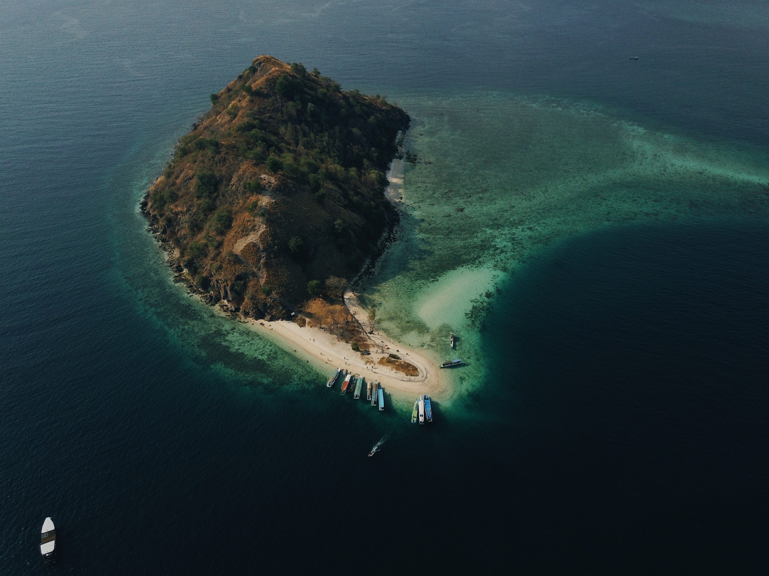
Jakarta (Indonesia Window) – Indonesia’s Geospatial Information Agency (BIG) has stated that a meeting on island data coordination decided that the number of islands in the country are 17,000 islands.
There are additional 229 islands, compared to those recorded in the 2020 Gazetteer of the Republic of Indonesia of 16,771 islands.
“The meeting also agreed on a follow-up that needs to be carried out in 2022, covering a study that involves ministries/agencies, as well as local administrations,” said Head of the BIG’s Mapping Center for Marine and Coastal Environment (PKLP) Yosef Dwi Sigit Purnomo in a statement here, Monday.
The study, according to him, would include issues on objects that are indicated to be not islands, island that have joined due to reclamation, and objects that have not been verified for topographical elements in 2021 from survey data by the Ministry of Maritime Affairs and Fisheries.
A study would also verify objects which mentioned in the 2021 topographical element, as well as toponymal survey data collection conducted by BIG in 2021 and 2022.
In addition to the study, Sigit considered it necessary to discuss the definition of an island that was agreed upon by the ministry/institution by taking into account views from the local administrations.
That step is needed so that the central government and local administrations have the same understanding on the topic, including the debate over if reclaimed islands are counted in the gazetteer.
Currently, an island is defined based on four conditions, namely having land area; formed naturally, not a reclamation area; surrounded by water; and always being above the high tides.
The 2021 Gazetteer of the Republic of Indonesia is planned to be published on November 30, 2021.
Before being published, the Gazetteer needs to go through an announcement process that will be carried out on August 24 – October 4, 2021. After that, a review of the responses will be carried out on October 5-25, 2021.
The next process is the submission of a letter proposing the determination of Official Topographical Names by the Head of BIG on October 26 – November 12, 2021. The final step, is lay outing.
Public can access complete data on Indonesia’s islands via application sinar.big.go.id.
Reporting by Indonesia Window

Saudi Arabia, Qatar agree to open airspace, land and sea borders

G20 seeks to help poorest nations deal with pandemic

Indonesia promotes specialty coffee in Germany amid pandemic

Saudi Arabia nominates former economy minister to lead WTO